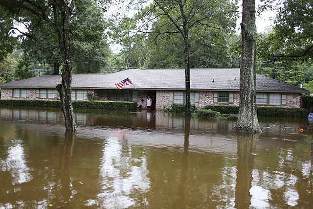
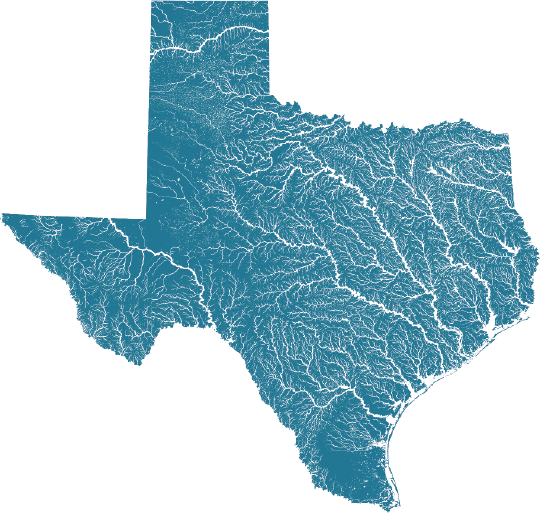
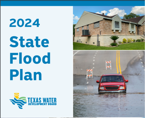
The first full draft of the [state flood] plan from the Texas Water Development Board, a 267-page report that drew on input from 15 volunteer-led regional groups, showed that over 5 million Texans live or work in areas susceptible to flooding. At-risk locations were identified based on whether historic averages showed they had at least a 1% chance of flooding each year, also known as 100-year floodplains.
The Texas Water Development Board did its own mapping to help regions visualize their risk. Officials worked with flood modeling group Fathom to fill information gaps across the state. This process also analyzed the likelihood of flooding based only on past averages, without forward-looking projections.
A public comment on the state flood plan submitted by a group of environmentalists ranging from the National Wildlife Federation to the local Bayou City Waterkeeper said 10 of 15 regions across the state had done their future-looking calculations by simply using 500-year floodplains to make assumptions about what 100-year floodplains might look like in the future.
“Climate change impacts such as increased precipitation are not adequately taken into consideration through this proxy,” the commenters said, urging the state authority to pull their new analysis with Fathom into the draft plan now instead of waiting for the next version in five years.
